
25+ Years Of Experience
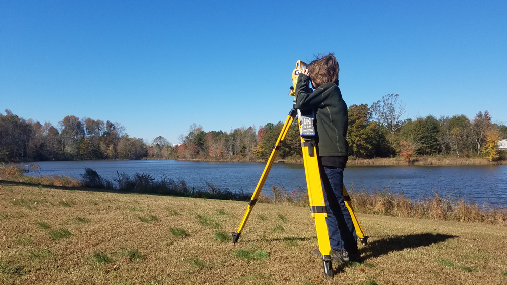
Surveying land in the Upstate of South Carolina
Our Services
About Us
I have been surveying the upstate of South Carolina for over 25 years. During these years I have performed all aspects of land surveying. This wide ranging experience informs my mindful and competitive approach.
Serving the public and my love of the outdoors fuels my passion for land surveying. Knowledge of the latest surveying technology combined with my understanding of past surveying practices keeps my surveys highly effective while maintaining high levels of accuracy.
Serving the Upstate of SC
